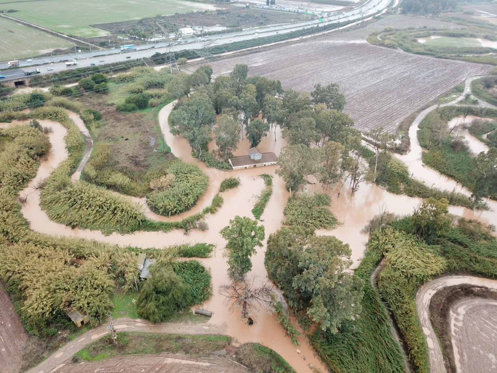
רשות נחל הירקון מבצעת בימים אלה עבודות פינוי משקעים, לטובת הציבור הרחב, בתוך הנחל, במקטע שבין גשר הברזל (רחוב אבן גבירול בתל אביב) וביןנקזמגרשהחניהמולרחוב ירמיהובתלאביבוכן, במעגנהשלמרכזדניאללחתירה. ציבור החותרים והשייטים מתבקש לחתור רק בנתיב השייט המוגדר. תודה על ההבנה.
עיזרו לנו לשמור על הירקון
מוזמנים להצטרף לקבוצות תושבים ונוער שפועלות למען שמירה על מרחב נחל הירקון. הפעילות כוללת הסברה לציבור המטיילים, הדרכות וכדו'.
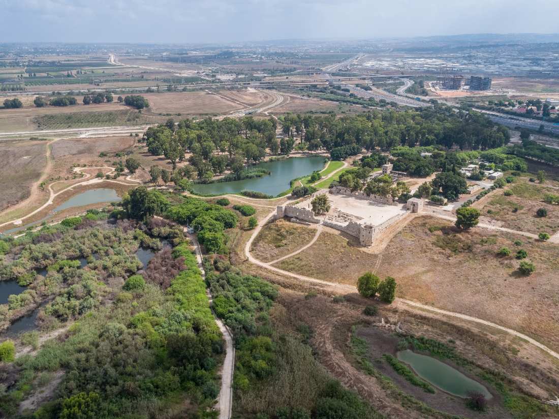
תפקידיה של הרשות כוללים פעילות בתחומי מניעת זיהום, שיקום הנחל והכשרתו לצורכי קייט ונופש.
מאז החלה הרשות את פעילותה, חל שיפור משמעותי באיכות מי הירקון ובסביבותיו. עבודות השיקום והתחזוקה של נחל הירקון תופסות מקום חשוב ועיקרי בעבודת הרשות. הרשות פועלת באופן קבוע לטיפול באפיק וגדותיו, שיקום צומח והסדרת השטח לטובת בעלי החיים המקומיים, הוצאת סחף וניקוי האפיק, וקידום פעילות קהילתית לטובת למידה, הנאה ושמירה על מרחב הירקון.
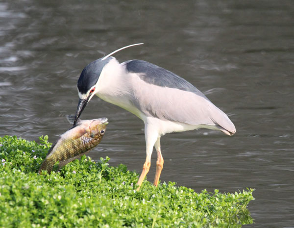
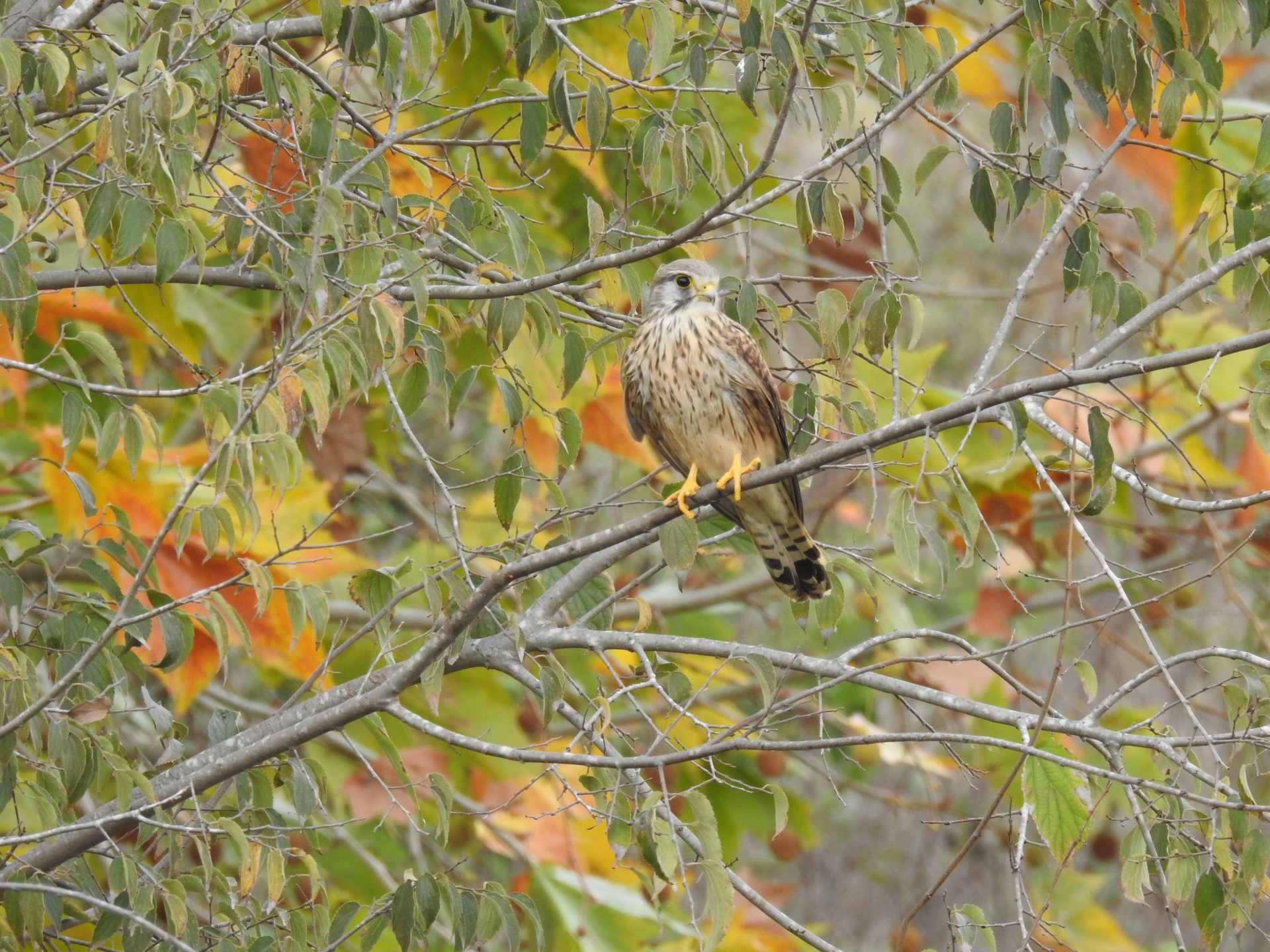
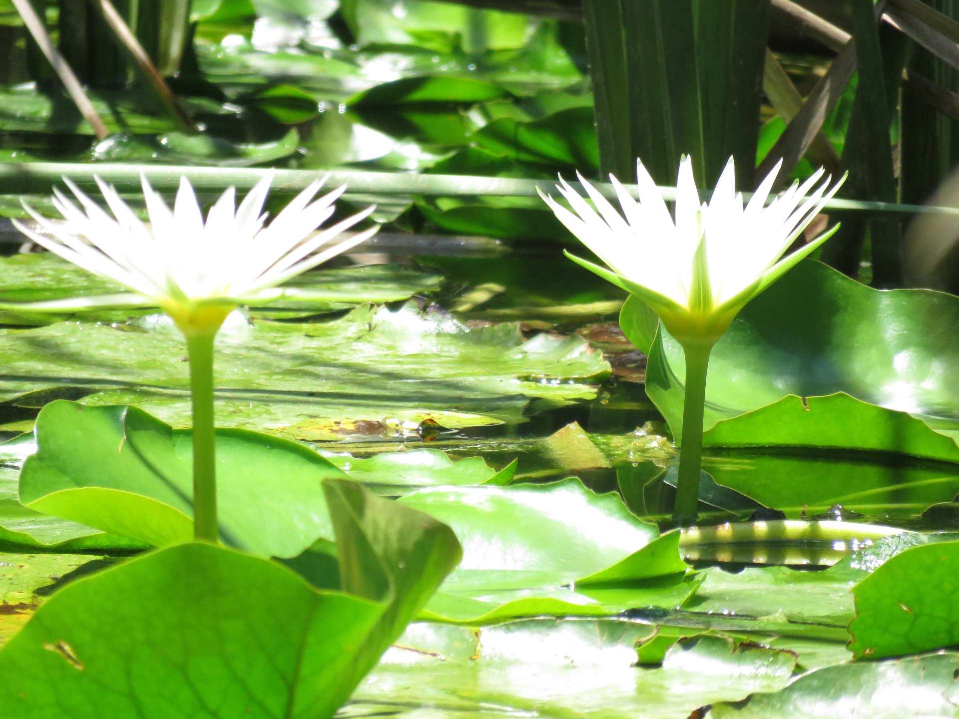
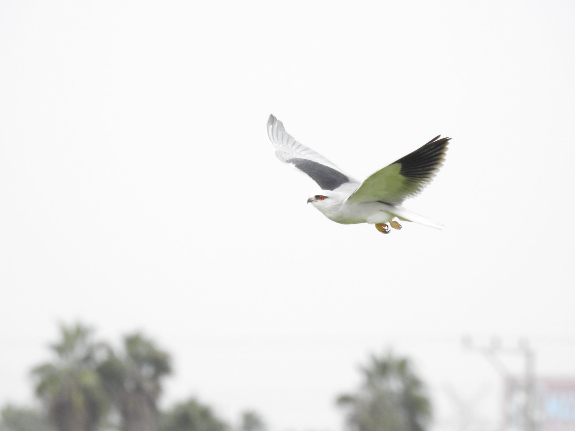
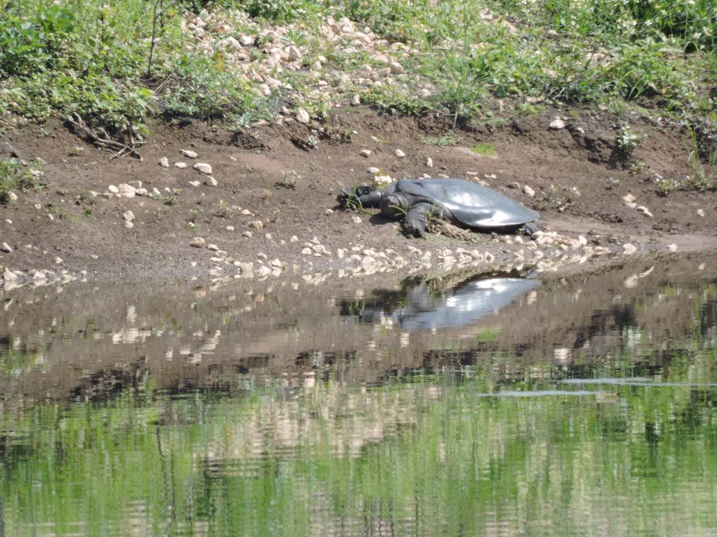
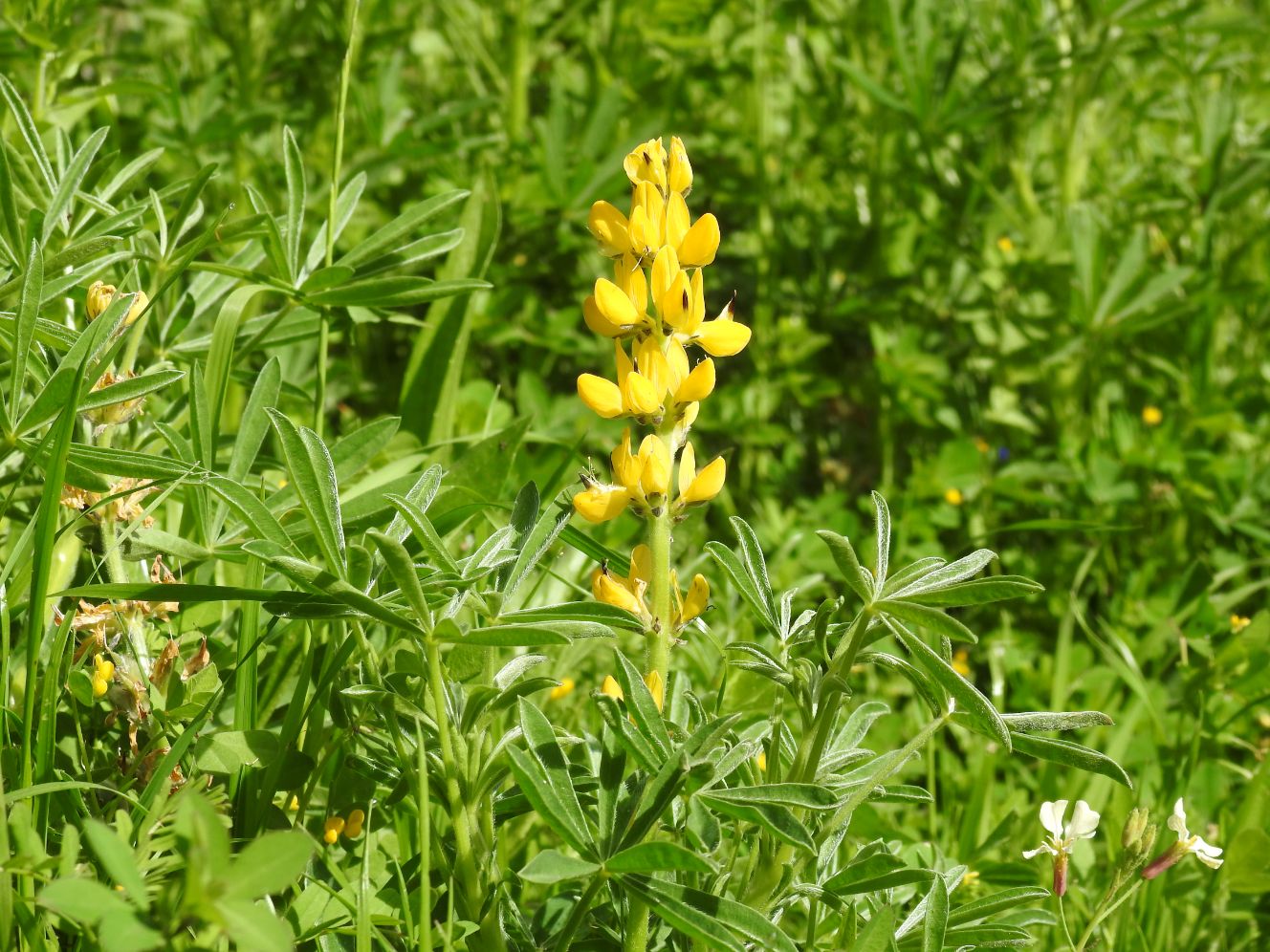
לאורך נחל הירקון וגדותיו קיים מגוון של בתי גידול הנבדלים זה מזה בתנאים הפיסיים שבהם: איכות המים, עומקם ומהירות זרימתם. הבדלים אלה משפיעים, בין היתר, על אופי הצמחייה במים ובגדות ובבעלי החיים המאכלסים את הקטעים השונים.
תכנית "שומרי נחל" משלבת לימוד והיכרות עם נחלים ומקורות מים בסביבה הקרובה, לצד פעילות לשיקום ולפיתוח הנחלים והנגשתם לקהילות המתגוררות לצידם. התכנית מועברת לקהלי יעד מגוונים: תלמידים, תנועות נוער, תושבים פעילים וכדו'. התכנית נכתבה ונערכה בהובלת המשרד להגנת הסביבה ומשרד החינוך, בשיתוף רשויות ניקוז ונחלים וארגונים נוספים.
הפעילות הקהילתית שרשות נחל הירקון מקדמת יחד עם הרשויות המקומיות מתקיימת לאורך כל השנה. פעילויות מיוחדות בחגים ומועדים מתקיימות ביוזמת הגופים הנוספים בשטח.
פרטים על אירועים מיוחדים נמצאים באתרי האינטרנט של הגופים הללו.

")
")
")
")
")